


Projects
Climate Modeling and Spatial Analysis
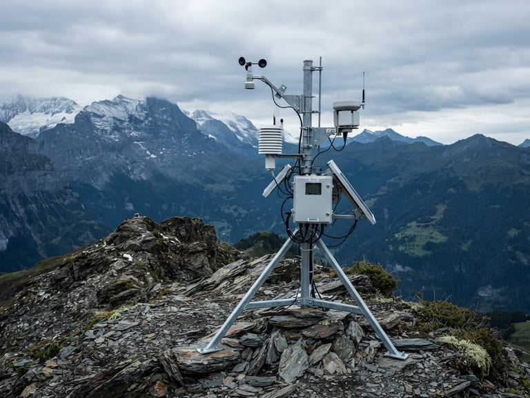
Formal channel for the submission of technical specifications, terms of reference, and requests for proposals. We assess the physical feasibility and regulatory compliance of your infrastructure under climate change scenarios.
Global Coverage
Global-Scale Studies
Our headquarters coordinates microclimate assessments and physical climate risk evaluations for infrastructure projects across the United States, Europe, and Latin America.
Frequently Asked Questions
Technical Responses
Direct answers regarding our scientific methodology, estimated delivery timelines, and the regulatory validity of our environmental impact assessment reports.
What modeling methodologies do you use?
Do your reports have legal validity?
We use General Circulation Models (GCMs) combined with dynamic downscaling techniques and advanced geospatial analysis through GIS to project localized climate risks.
Yes. All of our environmental impact and climate risk studies are prepared under strict applicable regulatory standards, making them suitable for legal proceedings and public procurement processes.
What is the typical delivery timeframe?
How are project requests submitted?
A standard microclimate study requires four to six weeks of empirical analysis, depending on topographic complexity and the availability of historical data.
You can attach your terms of reference directly through the technical request form. We will evaluate the requirements and provide a methodological proposal within 48 hours.
GPGeographica
Advanced spatial analysis and high-precision climate modeling
Technical Support Contact
gpgeographica@gmail.com
— Worldwide Projects
Technical Consultations & Advisory Services
© 2026 GPGeograpica-Independent Scientific Consulting
SCIENCE APPLIED TO THE TERRITORY